No-Till Farmer
Get full access NOW to the most comprehensive, powerful and easy-to-use online resource for no-tillage practices. Just one good idea will pay for your subscription hundreds of times over.

Earlier this year, Dan Sutton asked attendees at the National No-Tillage Conference for a show of hands to indicate how many farmers in the room had seen aerial imagery of their farms in the past 5 years. Almost all the hands in the room went up.
But not nearly as many hands were raised when the co-founder of ag imaging company AirScout asked them if they had changed farming practices as a result of those images.
“That’s the problem with aerial imaging in our industry,” said Sutton. “And we hope to change that.”
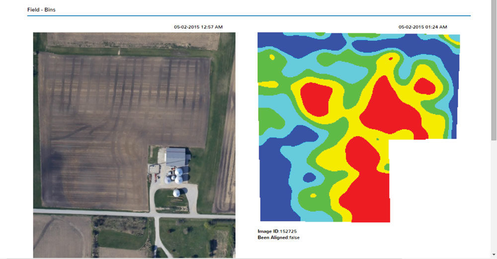
Launched in 2010 by farmer brothers Dan and Brian Sutton of Lowell, Ind., AirScout provides farmers with field images throughout the growing season taken from fixed-wing aircraft featuring regular visual images, as well as proprietary thermal and ADVI imagery — Brian’s patented version of normalized difference vegetative index (NDVI), which is usually used to detect live vegetation.
Nate Douridas, farm manager at the Molly Caren Agricultural Center at Ohio State University, says their farm started using AirScout imagery on a limited acreage in 2015 but is now using the service on all 1,375 cropping acres.
“The unique thing about this imagery is that they provide 10-plus image flights throughout the season, starting with bare soil ……